
The main objective of this training was to enhance the capacities of researchers and professionals in the applications of spatial observation for water resources management. Specifically, this training focused on the following aspects:
- Surface water monitoring methods: state of the art and perspectives;
- The current state of satellite observations of surface waters and their potential for regional and continental-scale use;
- The processing chain of spatial altimetry data, from download to obtaining time series of water levels from high-resolution raw data, using freely accessible software tools.
- The necessity of ground measurements and their interaction with satellite observations through a field visit
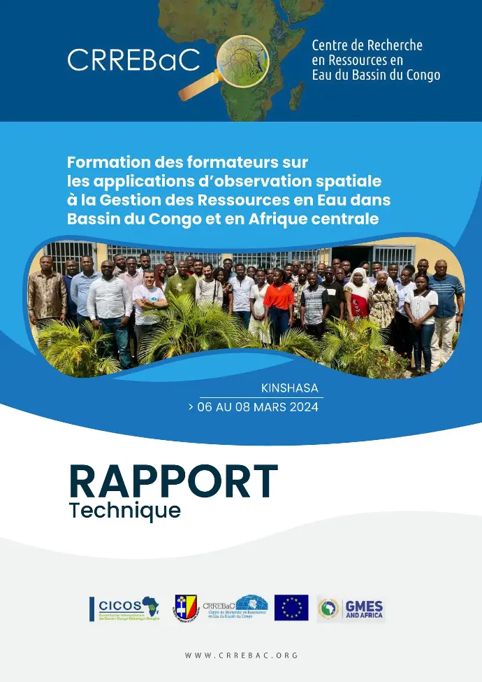
Training of Trainers Report on GMES Spatial Observations - CRREBaC