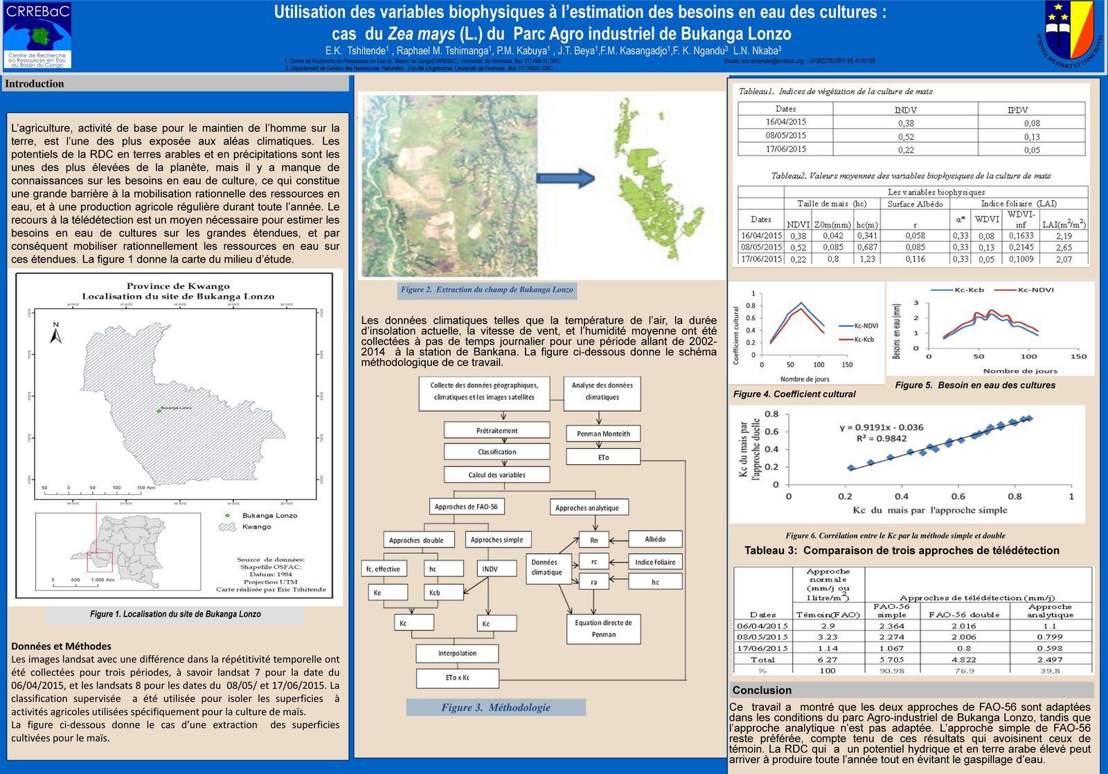
Agriculture, a basic activity for maintaining man on the earth, is also exposed to climatic hazards. In the DRC, the potential for arable land and precipitation being high, the lack of knowledge on crop water needs constitutes a major barrier to the rational mobilization of water resources, and to agricultural production throughout the year. The use of remote sensing is a necessary means of estimating the water needs of crops over large areas, therefore rationally mobilizing water resources over large areas.
The main objective of this study is to estimate the water needs of crops using remote sensing approaches in the agro-climatic conditions of the Bukanga Lonzo Agro-industrial park, in order to identify the most suitable one. To do this, the biophysical variables extracted from three Landsat 7 and 8 satellite images (04/16/, 05/08/ and 06/17/2015) coupled with climate data collected at METELSAT were estimated. The FAO-56 approaches used the mathematical relationship INDV (Standardized Vegetation Difference Index) and the Kc (crop coefficient), while the analytical approach used the direct Penman Monteith equation. The interpolation was made from the estimated crop coefficients.
The results showed that the corn water requirement is estimated at 5,705 mm (91%) for the single approach, 4,822 mm (77%) for the double approach, and 2,497 mm (40%) for the analytic. Compared to the witness which estimates 6.27 mm, the simple approach of FAO-56 remains desirable. Considering the interpolation, the corn water requirement is measured at 174 mm for the preferred approach in the study area. It is also highlighted a strong correlation between the two approaches of FAO-56, as it is estimated at 0.99 for the water requirement of maize.
Key words: biophysical variables, maize water requirements by remote sensing and GIS, agro-climatic conditions, FAO-56 approaches, analytical approach
Authors: Eric K. Tshitende, Raphael M. Tshimanga, Pierre M. Kabuya, Jules T. Beya, Fidele M. Kasangadjo, Jean-Felly K. Ngandu, Landry N. Nkaba.

Use of biophysical variables to estimate crop water needs in the agro-climatic conditions of the DRC